|
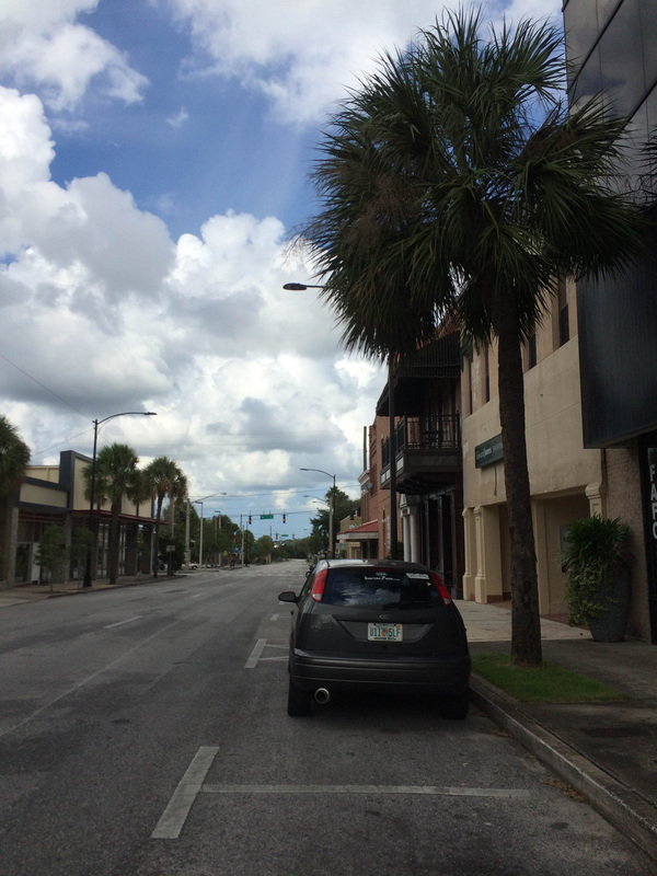
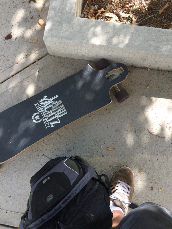
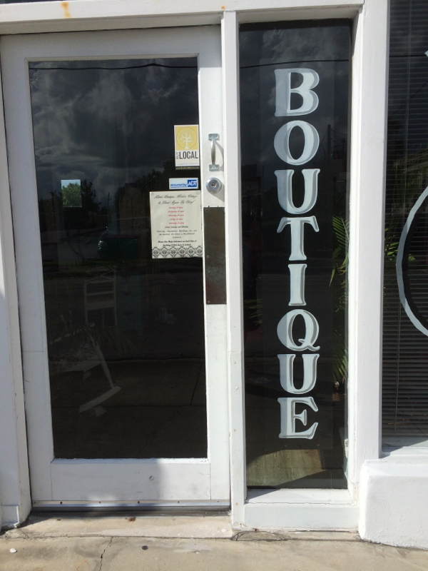
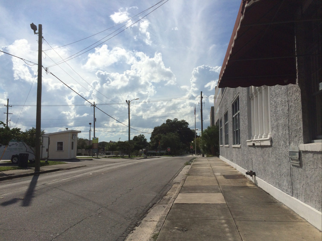
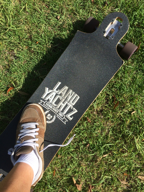
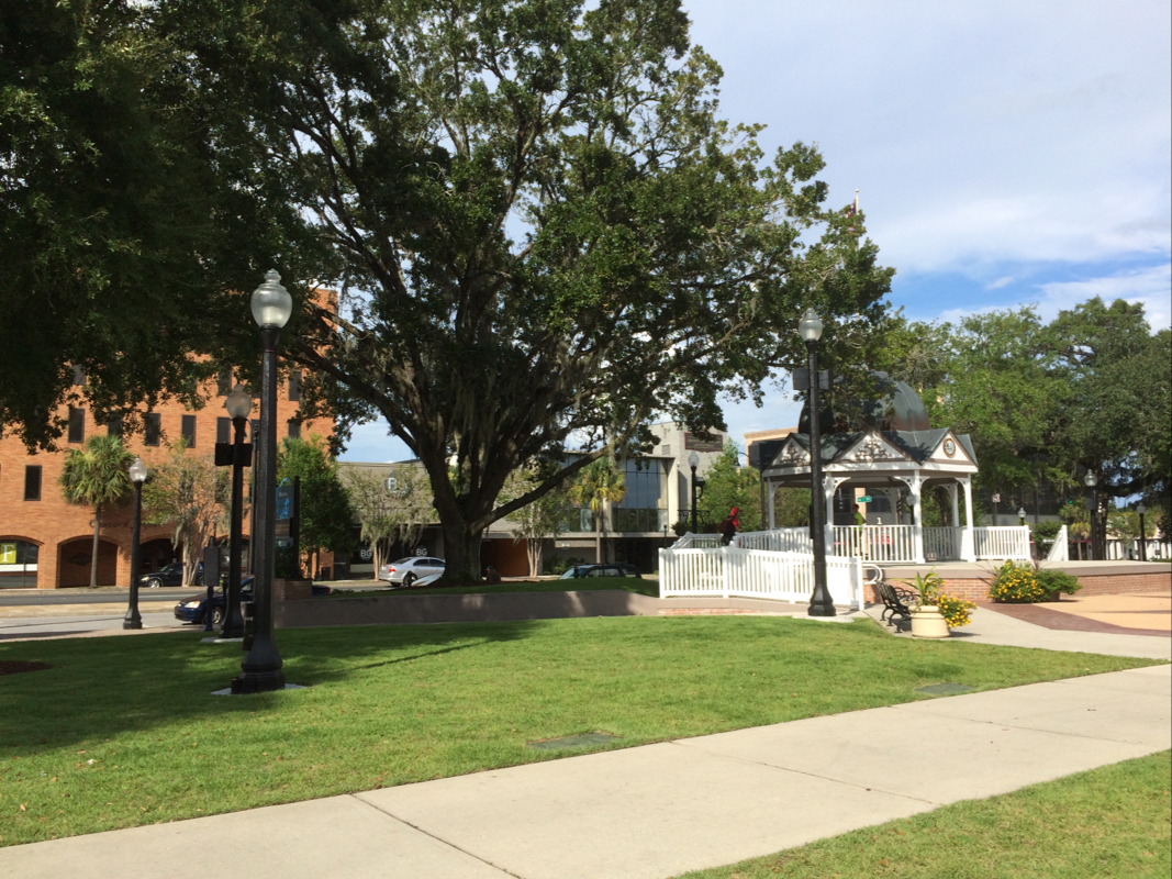
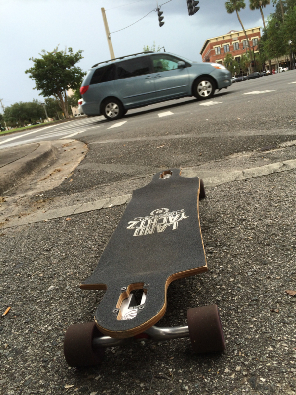
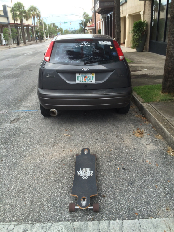
I drifted today. I conducted a dérive, wandering aimlessly throughout the downtown of Ocala. I did modify the directions a bit and although I wandered without purpose of destination and really no plan of route, I used my longboard to commute quickly through the various ambiances I encountered.
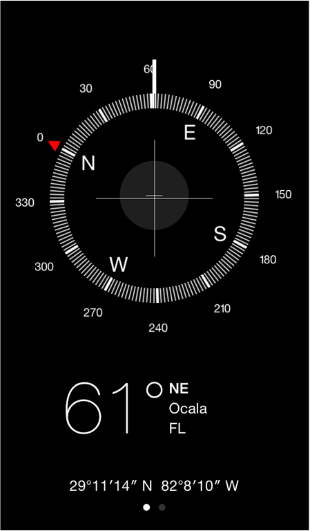
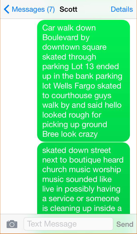
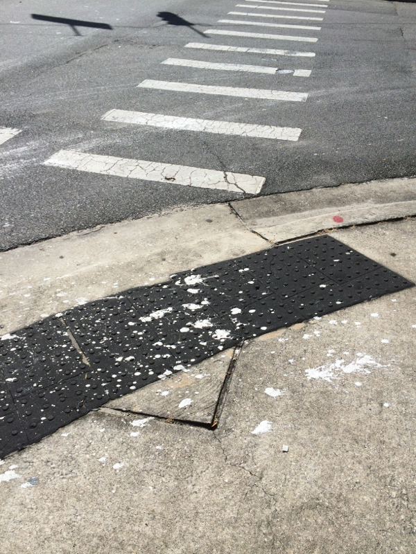
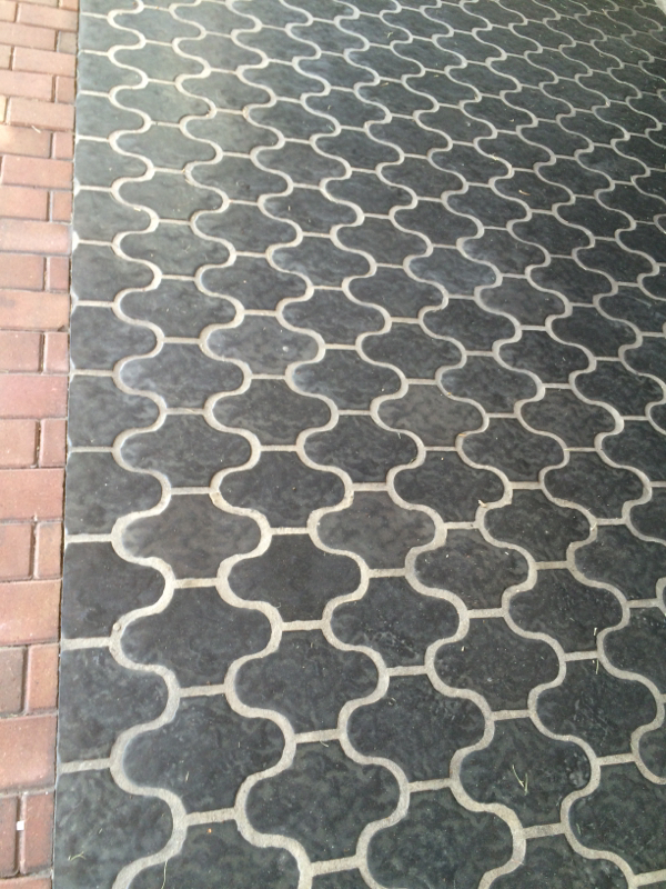
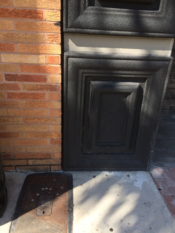
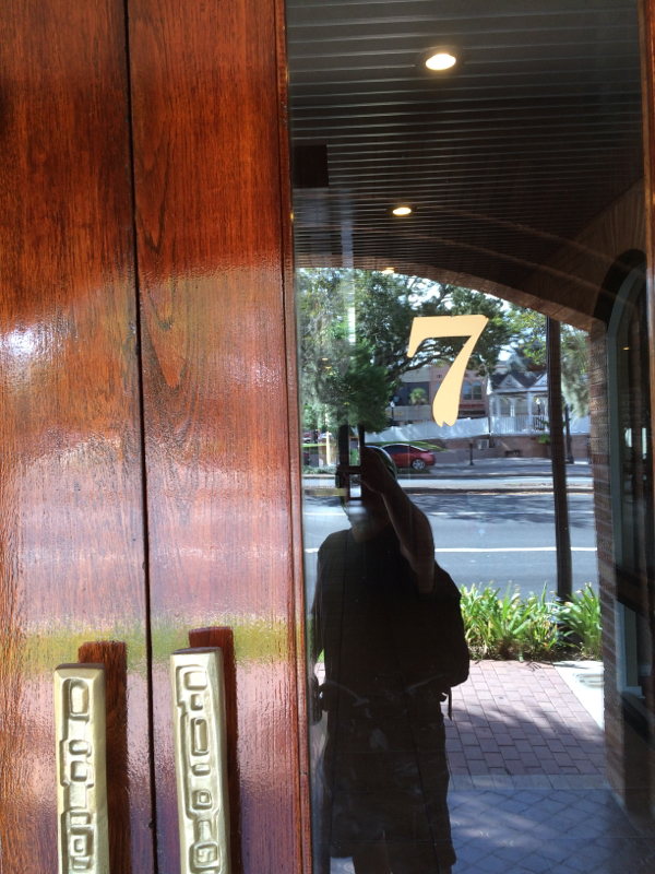
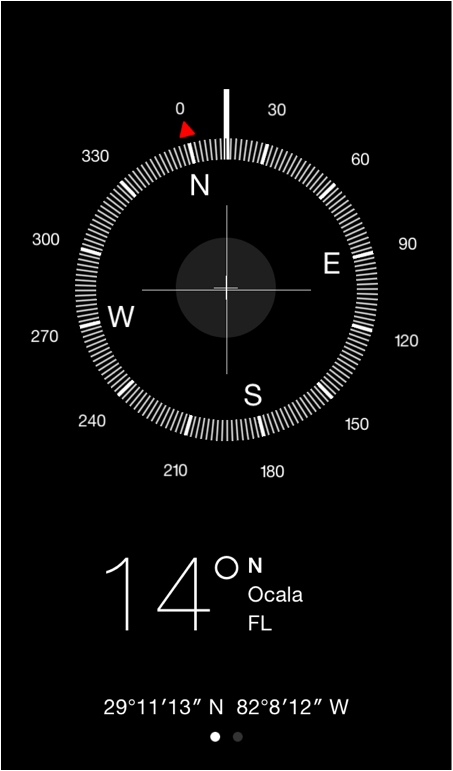
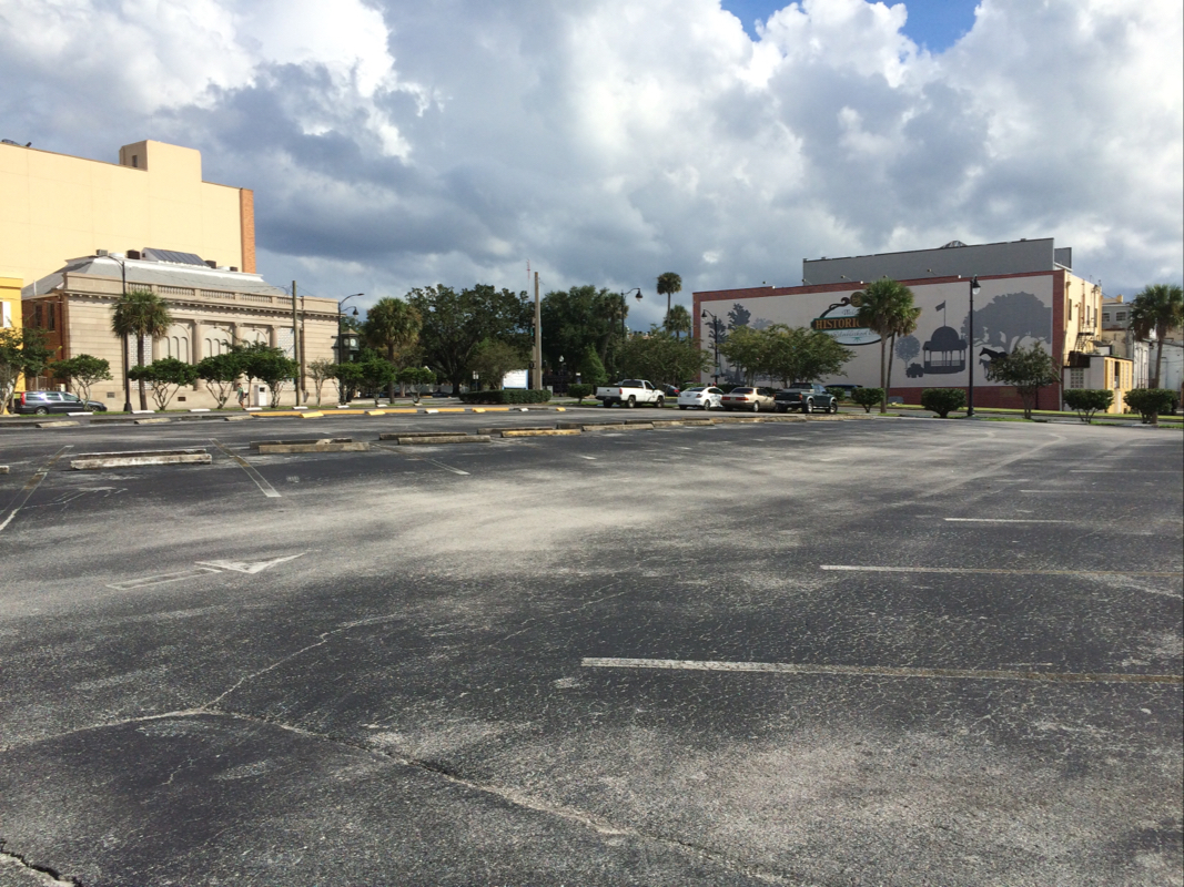
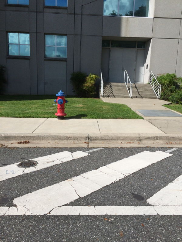
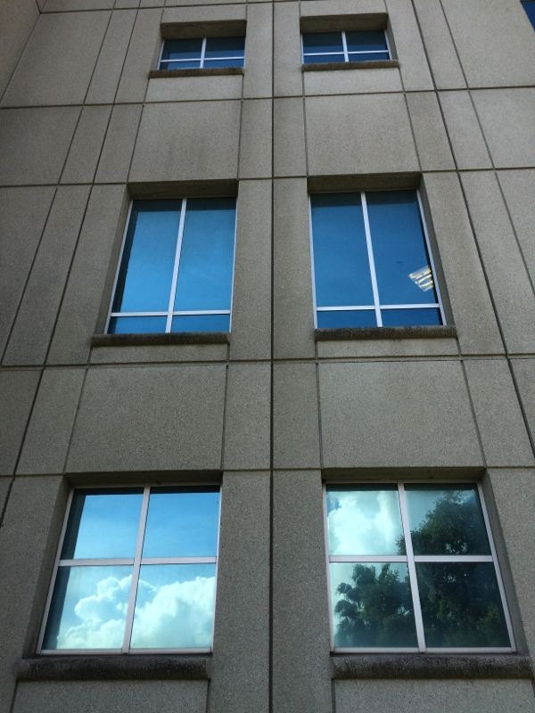
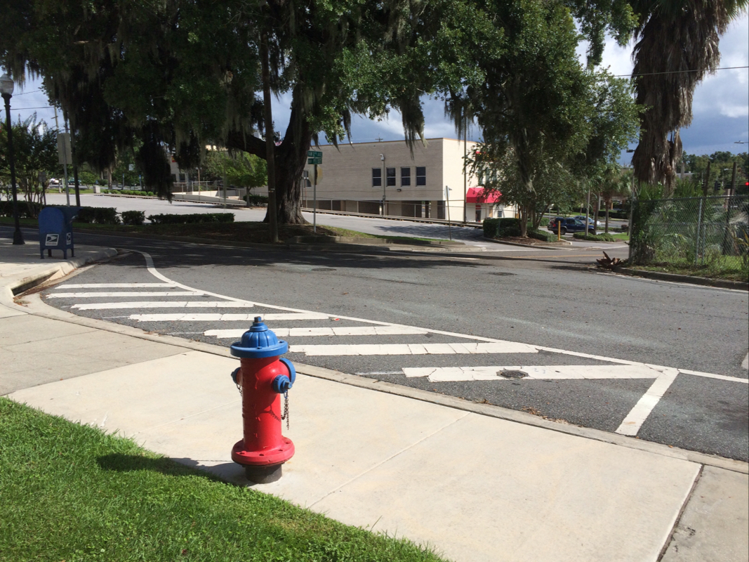
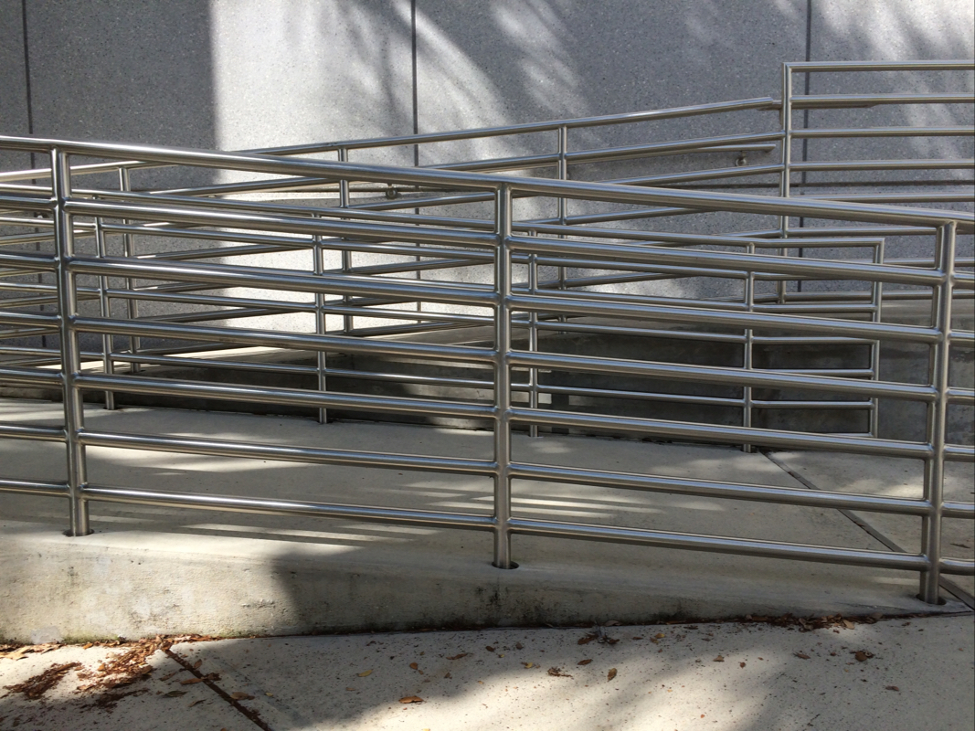
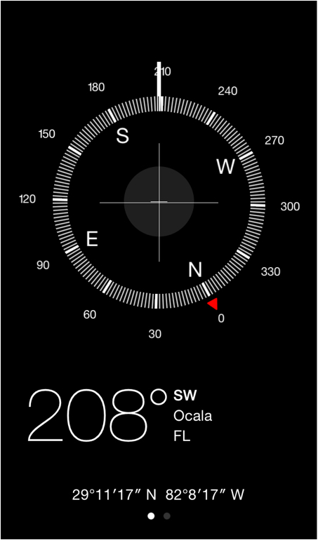
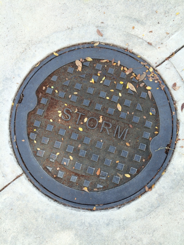
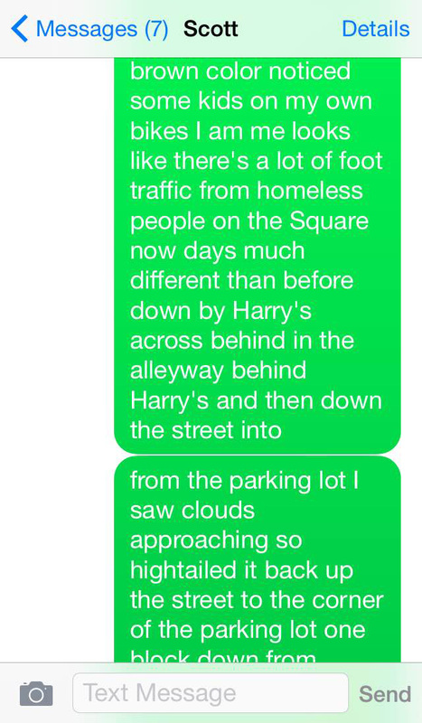
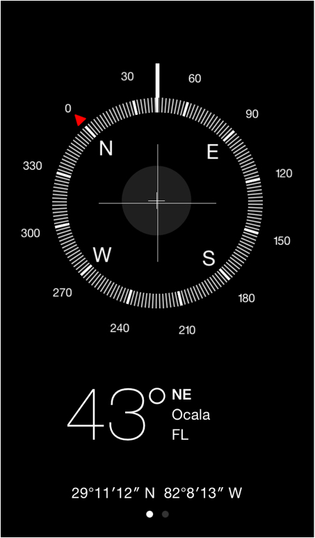
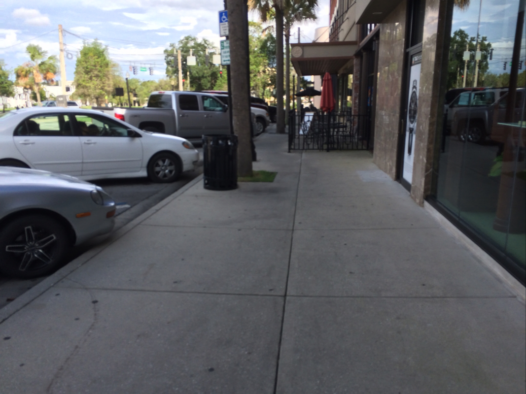
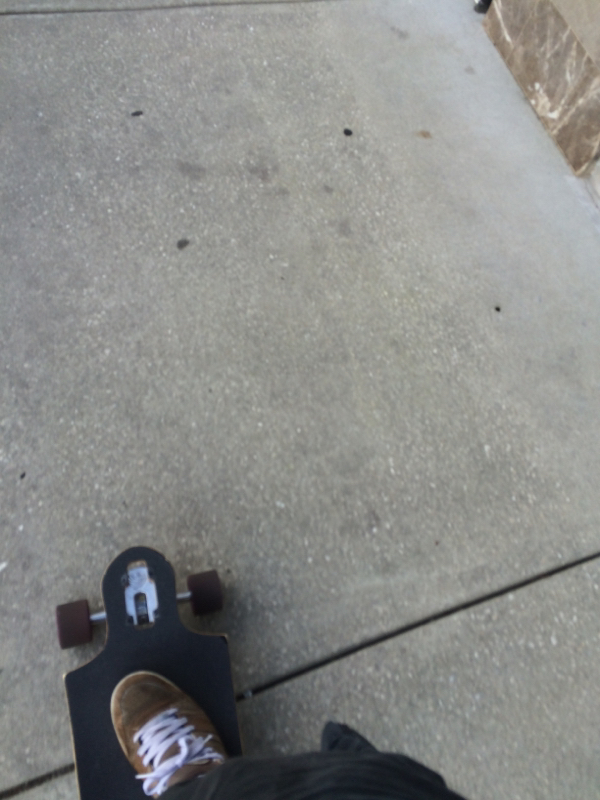
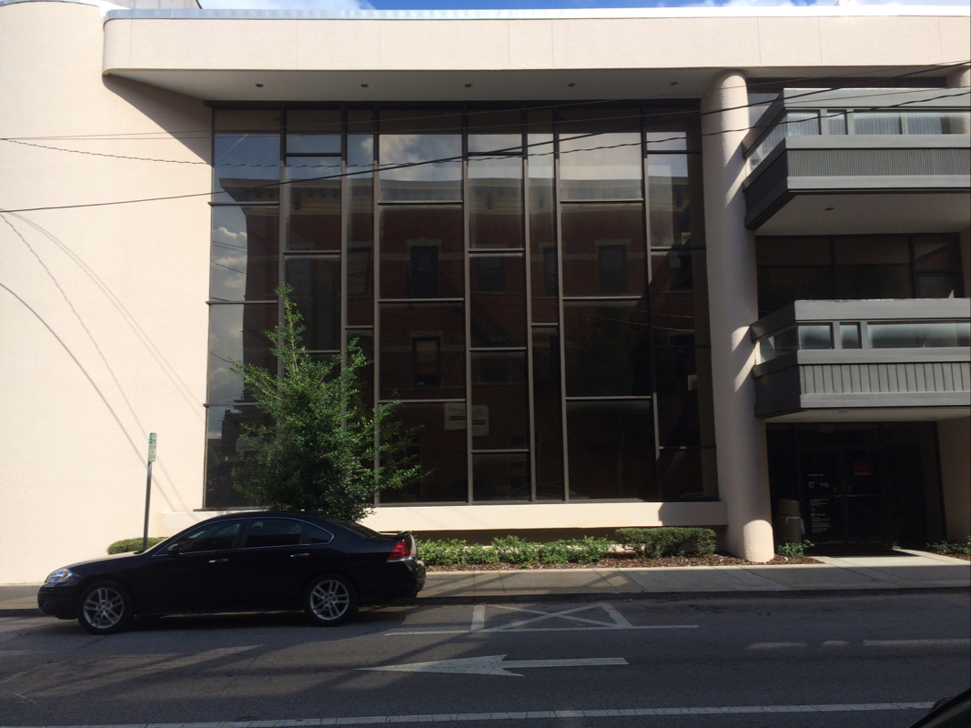
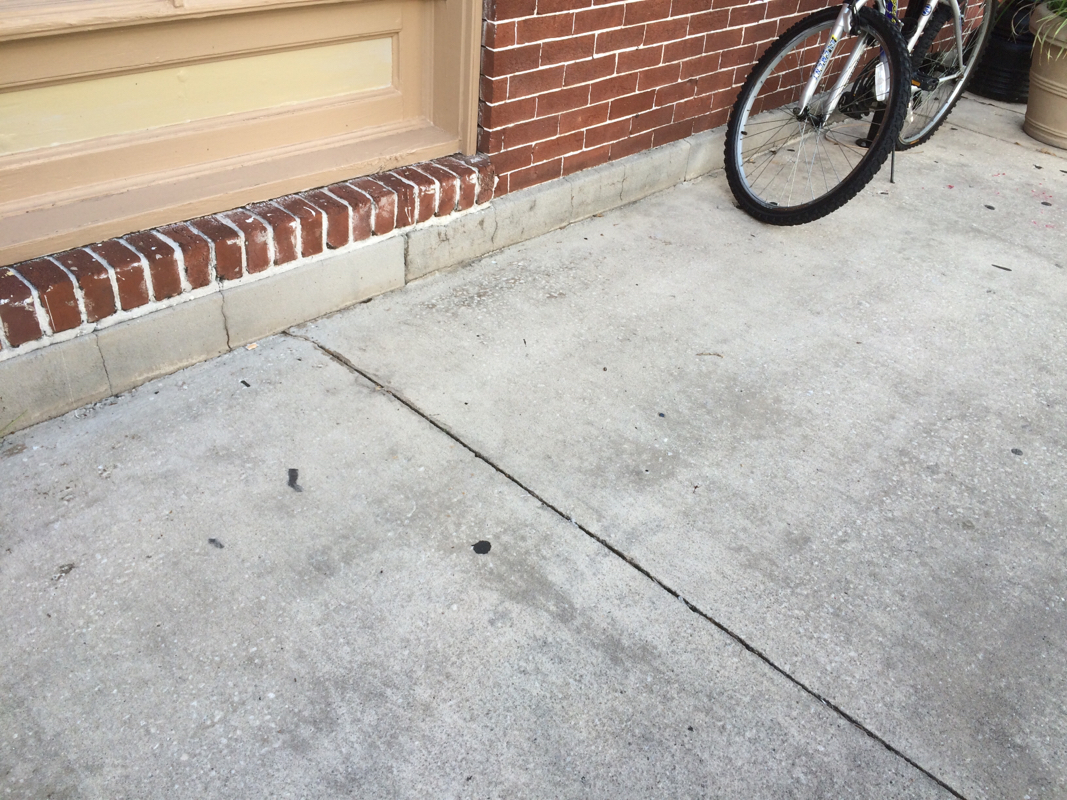
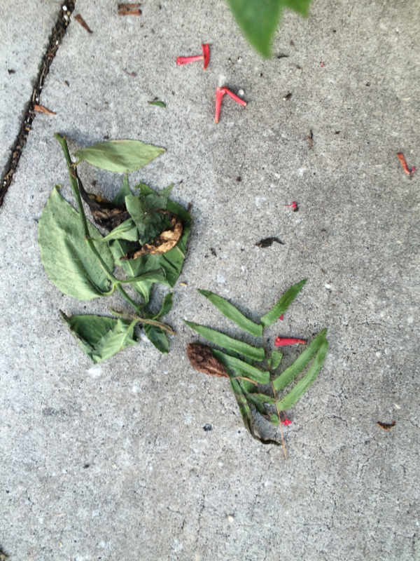
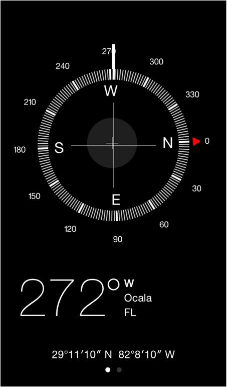
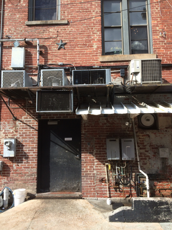
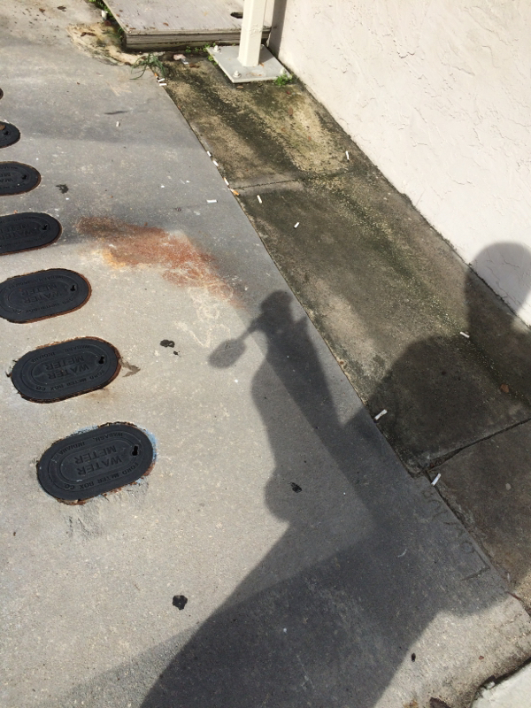
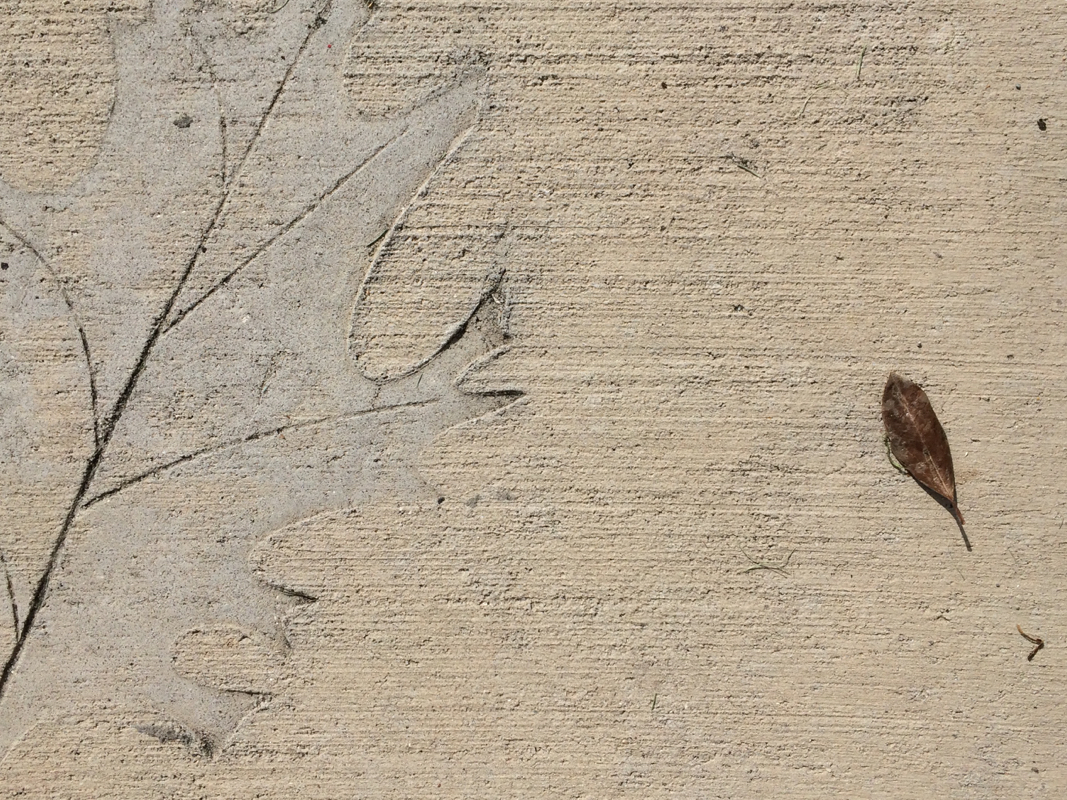
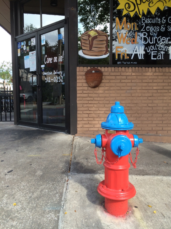
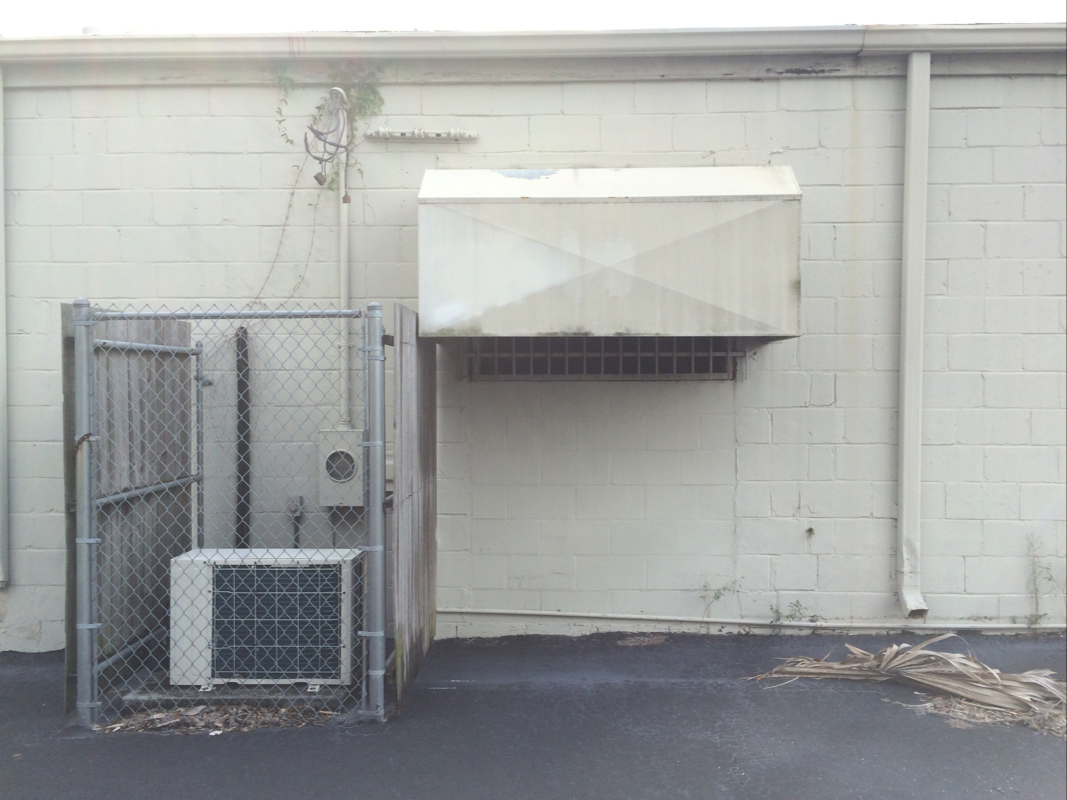
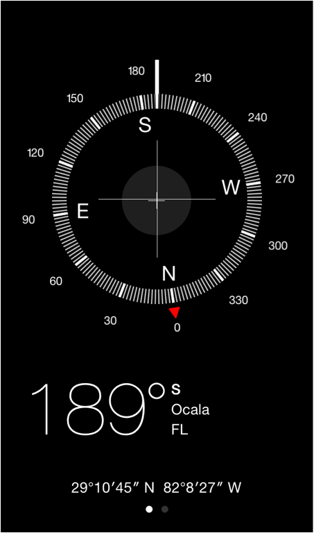
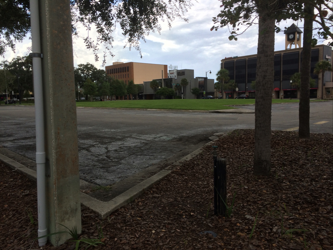
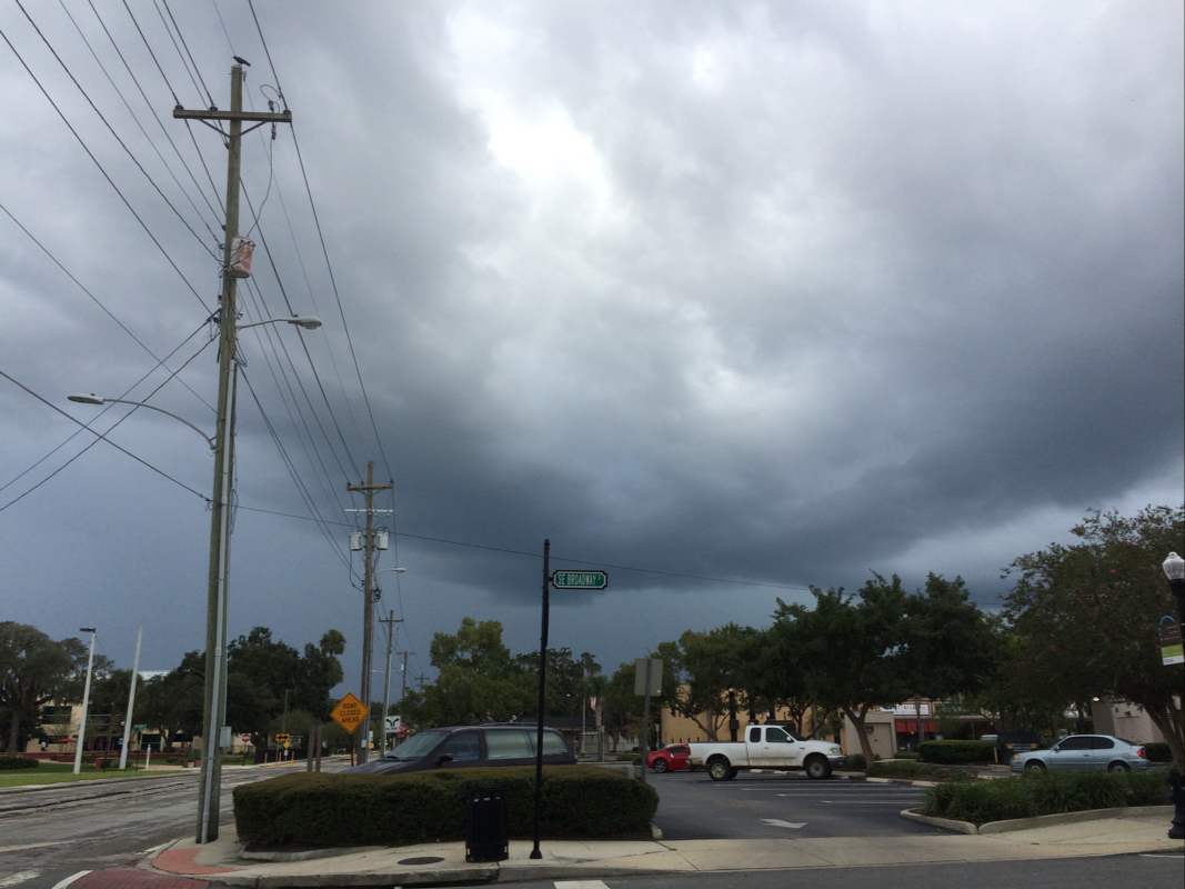
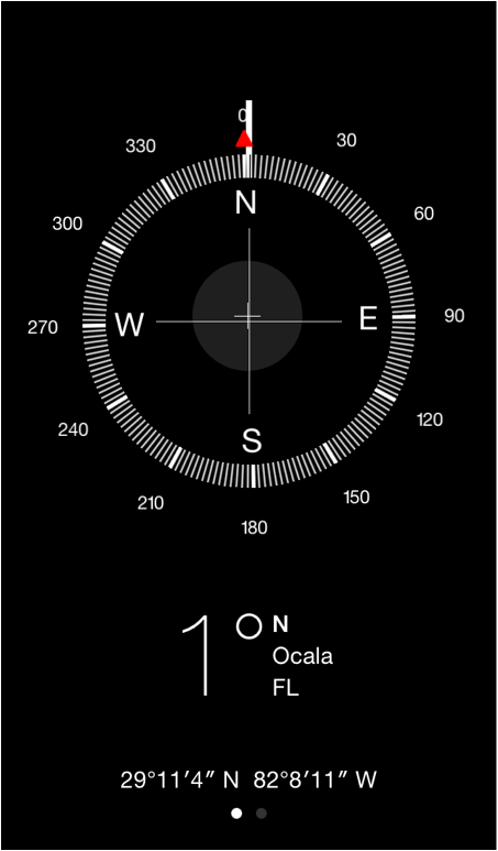
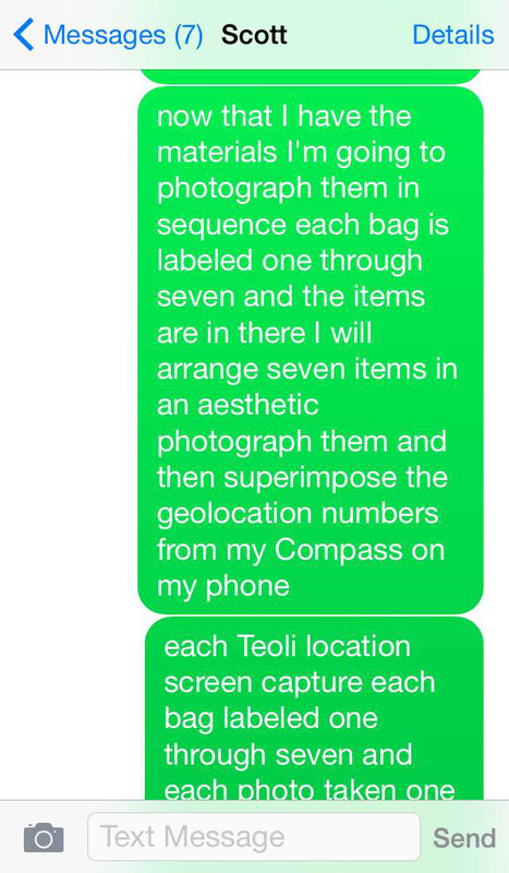
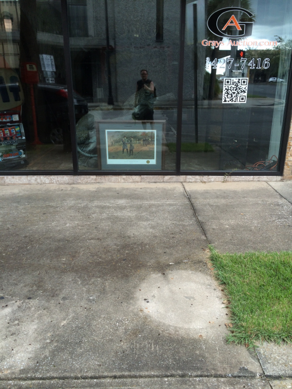
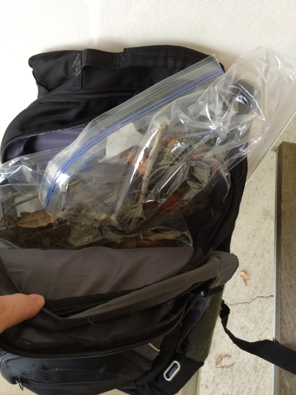
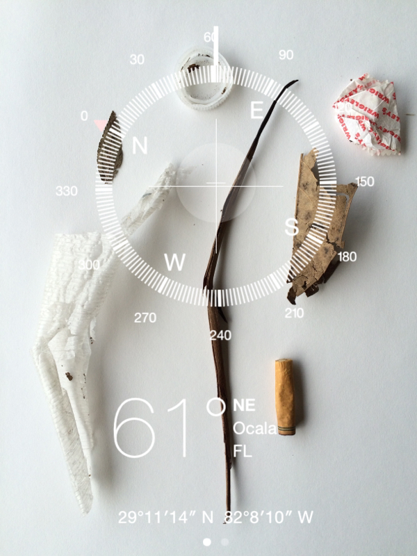
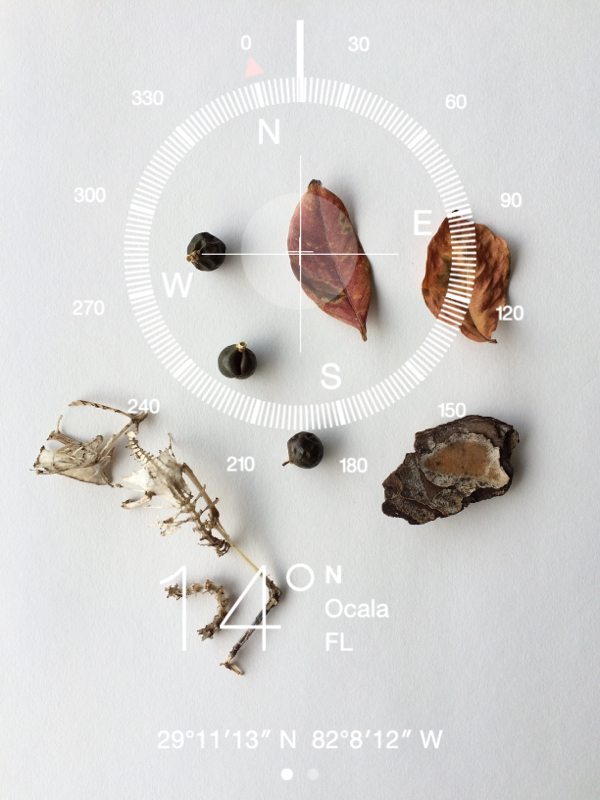
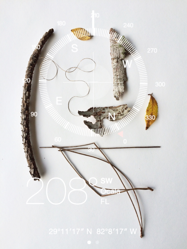
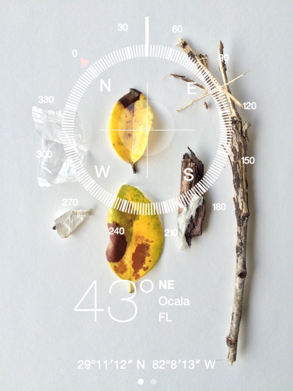
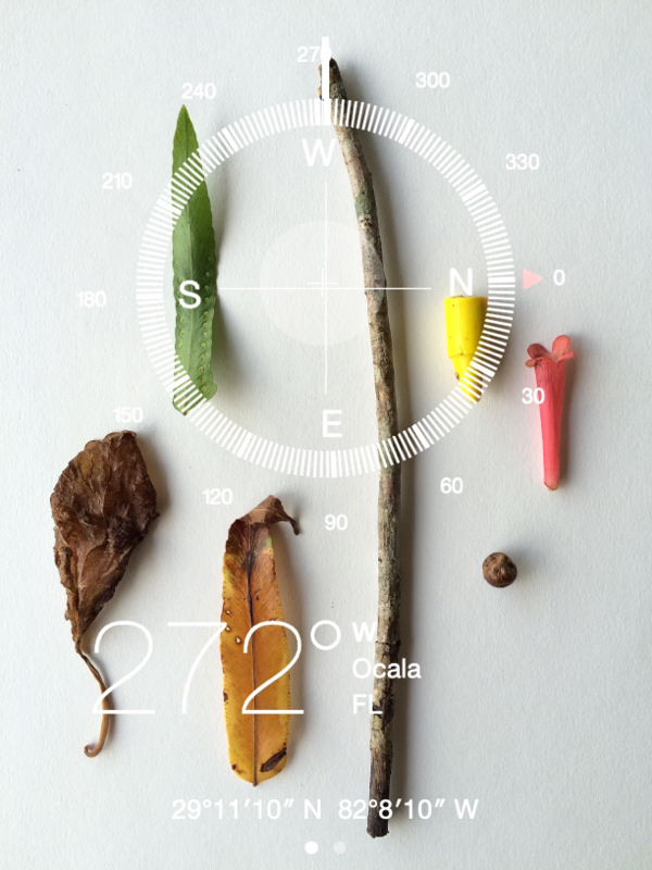
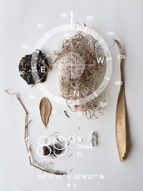
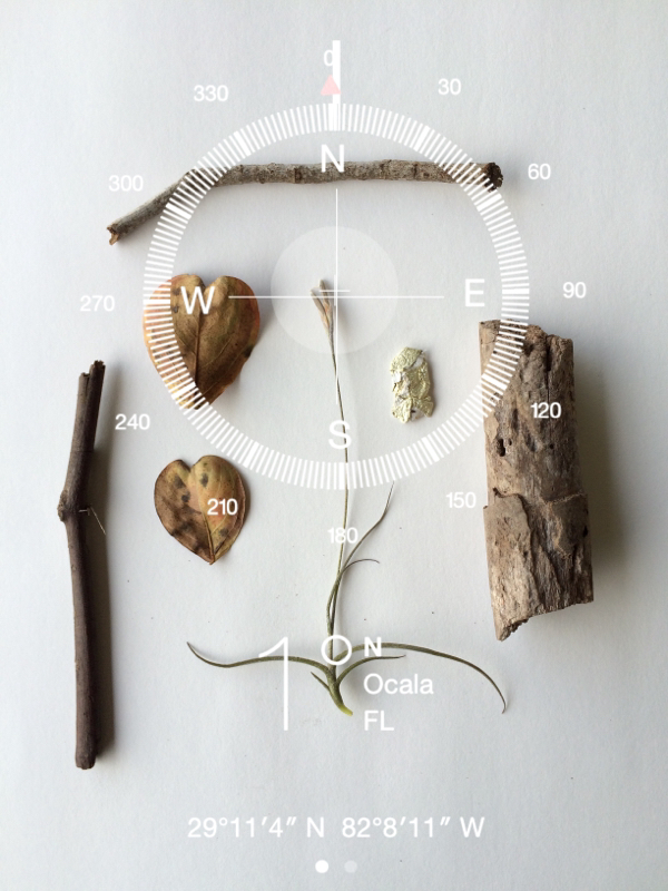
Along the way I skated on the roads, sidewalks and stopped at seven different random locations to gather a collection of found ground cover. Generally, I would pause randomly at times, noticing things and taking survey photos. There was no pattern, no method other than the simple rules of stopping seven times, pausing and taking photos of interest. Seven times I collected items into seven ziplock bags marking each one per stop in order. I used my iPhone5s compass to pull up my direction and geolocation. I took a screen shot of all seven locations, a document of my presence. I took the items collected home. Once home I arranged those items into an aesthetic design and photographed them as final pieces of art. I then used my iPhone and an application called, Juxtaposer, to superimpose the compass onto my images. Meshing the images of found items with the geolocation, gives the viewer a sense of the area and displays the minute details found there . These moments and items collected seem insignificant, yet tell stories of differences, similarities, discovery and imprints, from humankind and nature. In reality these moments and objects are fleeting much like the dérive itself. In process, I would pause, take survey photos (included below) and keep a spoken journal via texting myself notes and observations along the way. The text became a stream of consciousness type of dialogue. These process notes were captured via voice recognition/texting. There are some nonsensical errors due to inconsistencies with the iPhone software. The examples are included for raw documentation purposes. These insignificant moments and spaces that make up our lives are actually moments of great importance, if only that they connect us to the next.
2 Comments
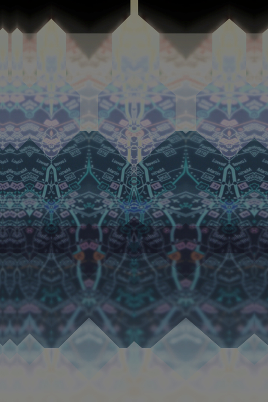
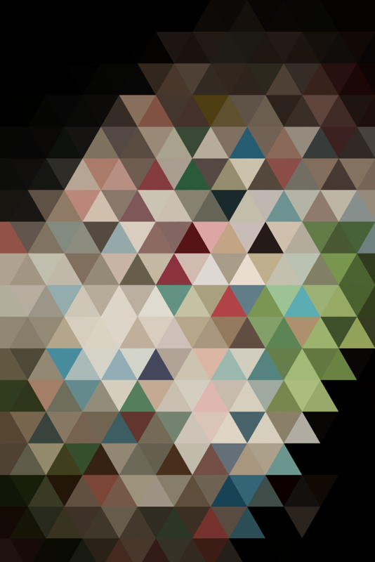
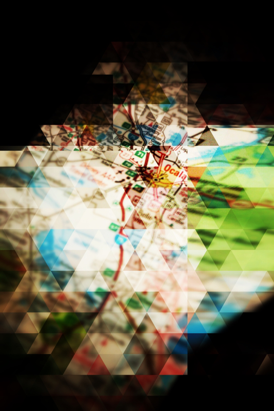
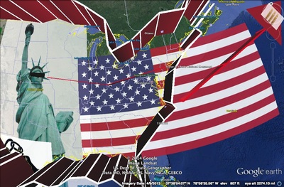
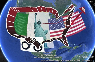
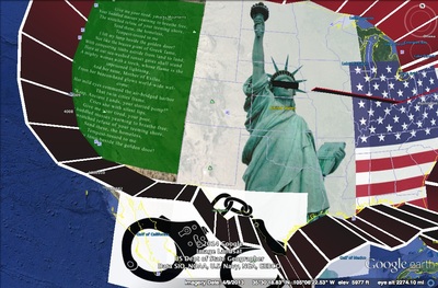
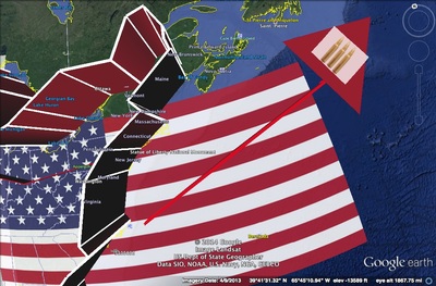
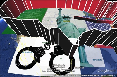
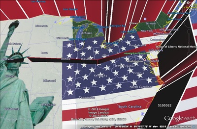
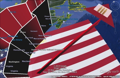
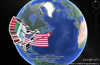
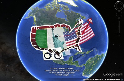
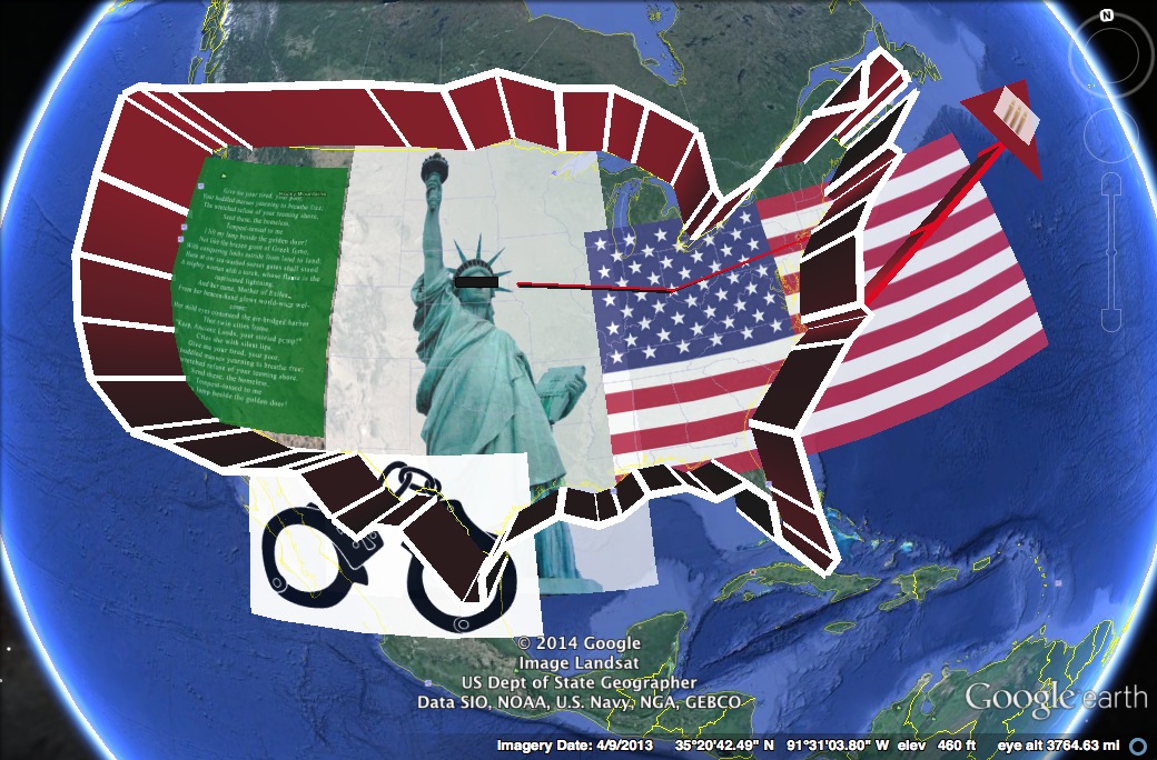
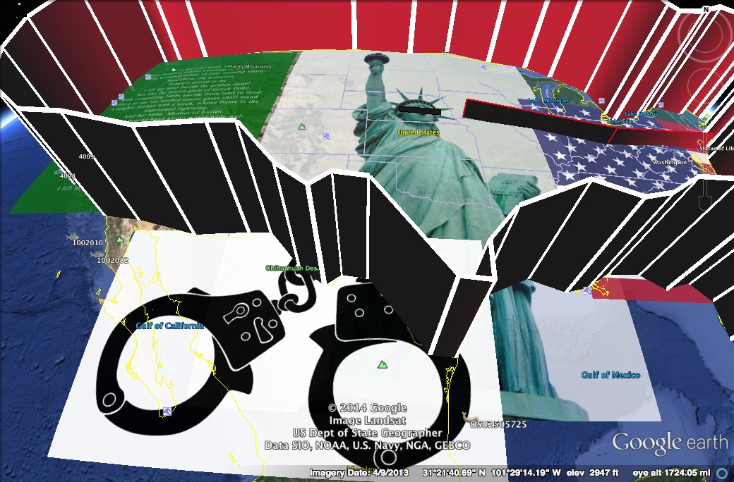
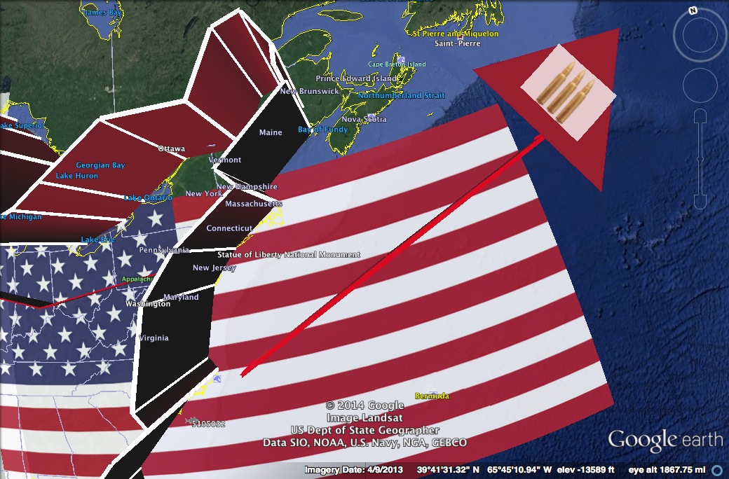
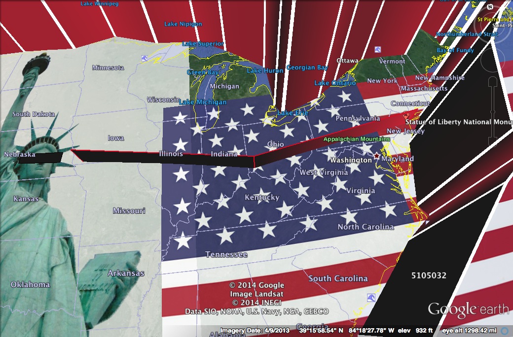
I'm now experimenting with Glitch maps. This is getting me into code, process and apps or software. I can't wait to see what happens with this series and idea. These are created with my iPhone5s. My current studio class is about mapping in art. I was assigned to create a collage map using Google Earth. My map explores the contemporary issues of border control. While I will not comment on my personal stance in the matter, the collection of these images leave the viewer with facts and interpretations about the issues at hand. I think it is interesting that while we struggle as a country with ideas of border control and freedom, we inadvertently send mixed messages to the international community. The Statue of Liberty, a gift from France, has come to symbolize one of America's roles in our global society. Lady Liberty's creed was at one time, a cornerstone of patriotism. Generally, Americans want some level of control over access to the country. Meanwhile, the government sends international military aid, policing others. In some cases America's intervention disallows the autonomy of other international states to fully exist. America itself has become a desirable place for families to raise their children, to live the American dream and partake of the "pursuit of Happiness." With these offerings our nation's responsibility is great. Disparities regarding border control, presence in the international community and freedom are long term. Included are complexities of a growing pluralistic, democratic and globally integrated society. As a result, America's border issues will surely require no easy solution. "Border Issues" Statue of Liberty, Photo Credit, Carlos Cunha, 2003. Remixed by scotthughesphoto for Google Earth Collage, Border Issues, 2014. Image usage in accordance with CC General Attribution License 2.0. Retrieved from, Flickr Here.
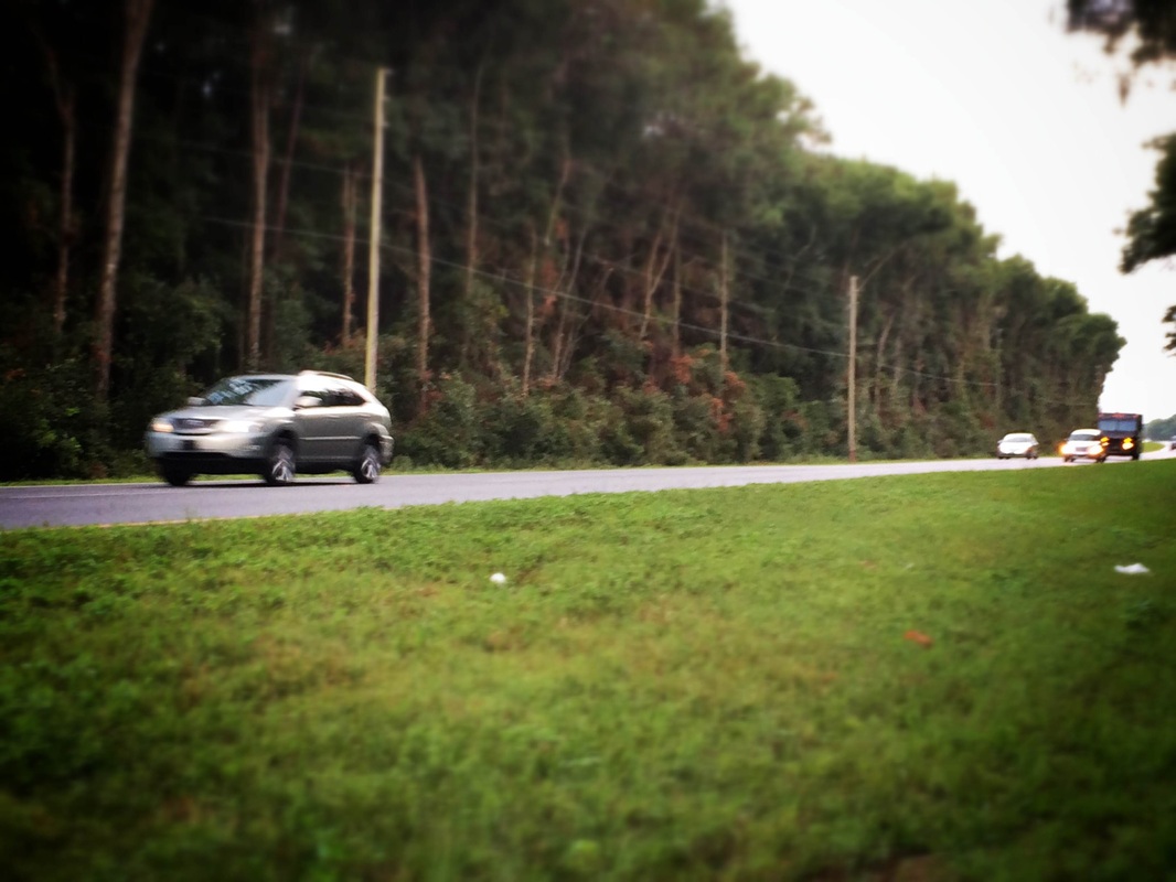
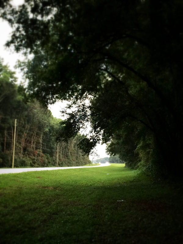
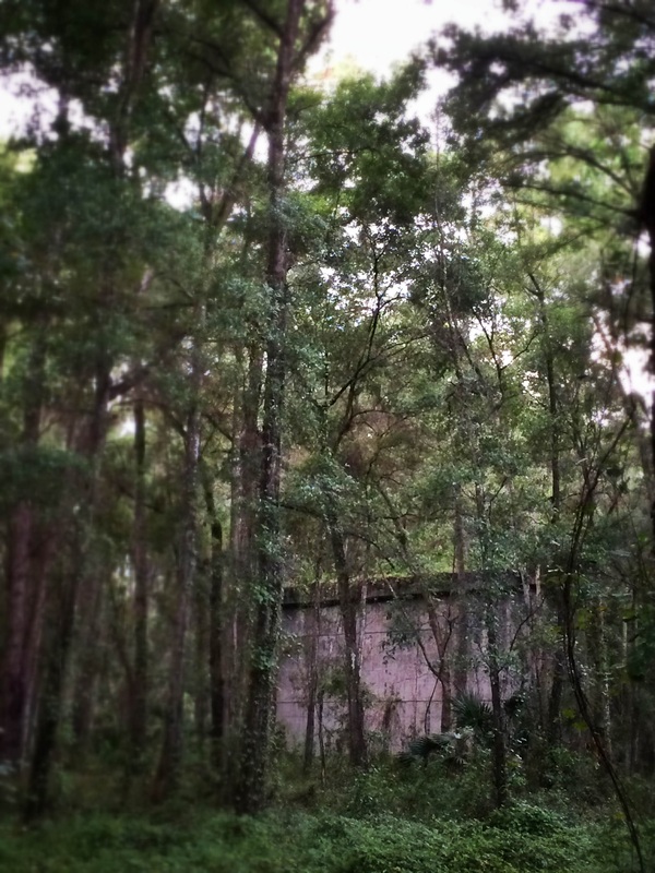
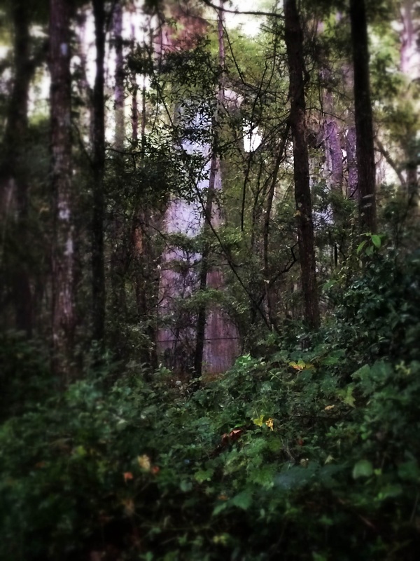
Being fascinated by fractals has led me here. Coastlines are fractals. I am tinkering with the idea of using Google Earth to make fractal art. Here are some first tries. I want to abstract, what I find on my exploration. I also want the earth to look vivid, replicate, as fractals do, life, organs, trees, and amplify the organic. Some images look like organs to me, vascular systems, some look to be on a cellular level, or even outer space. Whatever the case, nature is surely intricate and sophisticated, yet amazingly simple at times too. I love it. REBECCA: "I never told you about that letter Jane Crofut got from her minister when she was sick. He wrote Jane a letter and on the envelope the address was like this: It said: Jane Crofut; The Crofut Farm; Grover's Corners; Sutton County; New Hampshire; United States of America." GEORGE: "What's funny about that?" REBECCA: "But listen, it's not finished: the United States of America; Continent of North America; Western Hemisphere; the Earth; the Solar System; the Universe; the Mind of God--that's what it said on the envelope." GEORGE: "What do you know!" REBECCA: "And the postman brought it just the same." GEORGE: "What do you know!" Our Town, Act 1 I was really inspired by the tangible examples of maps in our textbook, The Map as Art: Contemporary Artists Explore Cartography. The paintings, installations and sculptures got me thinking I wanted to make something physical. My map deals with the concept of strata or geological strata mapping. Like layers beneath the surface being the memories and experiences that make up our lives. My attempt at this map was to include memorable events throughout my life, inserted within the layers of a map of Florida folded so that Ocala would be a center point on the top surface of the map display. The sides of the map appear semi-transparent, allowing light and shadow to play about. The folds are organic and reminiscent of the strata maps of the earth below the surface of our planet. The strata contain strips of artistic papers with memories written on them. The photos were printed from my Facebook album containing a lot of family photos and photos of friends growing up. The stratum also contains real photos. I included business cards of the dentist I have recently visited and would like to include more recycled materials, even bills that reflect my life. I would like to include student artwork that has been left behind and other materials I find and can incorporate. Some documents or even objects in the strata would be more important in relation to my life and others subtle or even insubstantial. I am inspired as there could be many themes to this sculptural approach to representing maps. One idea is to cut the surface map to match the shape of Florida, collage/adhere a map of Florida to fit and then the strata would consist of vintage and contemporary imagery, documents and brochures. The sculpture could be large, 6ft or more and viewed as this one is, in the round. In addition the large Florida map could be viewed from a higher vantage point, say a balcony as well. This would give the sculpture a multi-dyamic approach in viewing and perceptive qualities. Overall I am happy with this experiment. I plan on making the historical Florida strata map (starting with prototypes) and may approach gallery or State government spaces someday. I will start with experiments of working in larger formats with this strata idea generally too. Process and Detail Photos included. Driving in my car from Ocala to Belleview, Florida I caught a glimpse of some concrete bridge columns. These monoliths are camouflaged by vines and surrounded by lush trees just off the road. As a teenager I was somewhat surprised by the sight. The columns look like ancient pylons sitting in a wooded median where US Highway 301/441 diverts. The north bound and south bound traffic separates for a few hundred yards to then reconvene with a low grassy area betwixt. Bustling commuters pass by unaware of these disguised wonders. Being unsure about the significance of these structures, my dad later explained.
|
Scott HughesArt Educator, Professional Photographer, Journalist. Alumni: Archives
March 2020
Categories
All
|
 RSS Feed